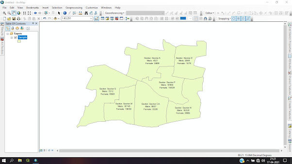
LANDUSE / LANDCOVER USING MAPPING
Step 1: Unzip Satellite Image | Layer Stacking the
Satellite Bands

Step 2: Start ArcMap from your Desktop, or on the Windows Task bar click Start | Programs | ArcGIS | ArcMap
Tool Enabled
 Step 3: Add
| Satellite Image| Add Band – Red, Green, Blue and Near Infrared Red


Comments
Post a Comment